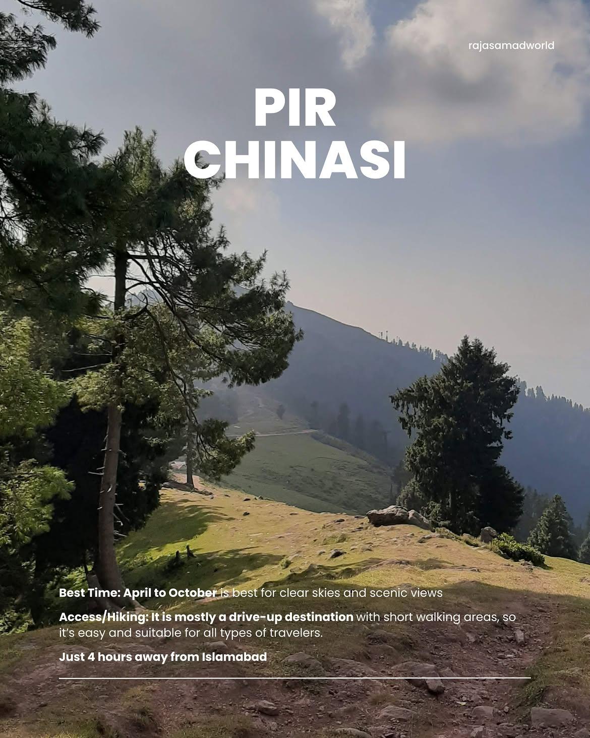
Peer Chinasi
Pir Chinasi is a world-famous, high-altitude mountain peak and spiritual sanctuary situated in the Lesser Himalayan region of Azad Kashmir. Sitting at an elevation of approximately 2,900 meters (9,500 feet) above sea level, this stunning ridge is highly renowned for housing the historical, snow-white shrine (Ziyarat) of the revered saint Hazrat Sayed Hussain Shah Bukhari. It functions as a prominent hub for paragliding, extreme mountain cycling, and high-altitude ridge trekking.
- Difficulty
- Unrated
- Distance
- 4.0km
- Elevation gain
- —
- Duration
- 5h
- Best season
- May – Oct
The journey
Peer Chinasi is a 4.0km hike near Muzaffarabad. It takes about 5h.
Pir Chinasi is a world-famous, high-altitude mountain peak and spiritual sanctuary situated in the Lesser Himalayan region of Azad Kashmir. Sitting at an elevation of approximately 2,900 meters (9,500 feet) above sea level, this stunning ridge is highly renowned for housing the historical, snow-white shrine (Ziyarat) of the revered saint Hazrat Sayed Hussain Shah Bukhari. It functions as a prominent hub for paragliding, extreme mountain cycling, and high-altitude ridge trekking.
Trail Statistics
Trail map
Elevation profile
Climb over the length of the trail. Tap or drag along it to read elevation and grade.
Weather
Five-day forecast at the trailhead, 2,443 m.
Today
17°8°
Precipitation 3.1
Tomorrow
20°6°
Precipitation 0.4
Sat
21°7°
Sun
20°8°
Mon
21°9°
Forecast from MET Norway, updated hourly.
Frequently asked questions
Can you drive all the way to the top of Pir Chinasi?
Yes, a paved mountain road leads directly to the shrine and main viewpoint at the summit ridge.
Are there hiking trails beyond the paved viewpoint?
Yes, several rolling alpine ridge trails continue toward Saran and surrounding peaks for day trekking.
What is the elevation of Pir Chinasi?
The summit ridge sits at approximately 2,900 meters (9,500 feet) above sea level.
Does it snow at Pir Chinasi in winter?
Yes, heavy snowfall occurs from December to February, often requiring 4x4 vehicles with tire chains.
Are accommodation and food available on-site?
Basic guest houses, seasonal rest houses, and local food stalls operate near the top.
Trail gallery
Trail Photos
Photos from hikers
Recent shots from the community on this trail
No community photos yet. Been here? Add the first one.
Reviews
Ratings and recent conditions from the community
No reviews yet. Hiked this trail? Be the first to share conditions and help other hikers.