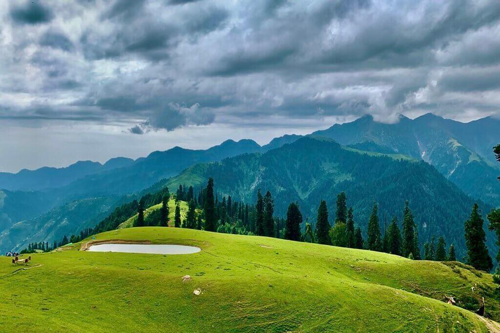
Manshi Top
Manshi Top is a 4.2 km trek in the Naran & Kaghan region of northern Pakistan with around 306 m of elevation gain.
- Difficulty
- Easy
- Distance
- 4.2km
- Elevation gain
- 441 m
- Duration
- 2h
- Best season
- Jun – Sep
The journey
Manshi Top is a 4.2km easy hike in Mansehra. It climbs 441 m and takes about 2h.
Manshi Top is a 4.2 km trek in the Naran & Kaghan region of northern Pakistan with around 306 m of elevation gain.
Trail Statistics
Trail map
Elevation profile
Climb over the length of the trail. Tap or drag along it to read elevation and grade.
Weather
Five-day forecast at the trailhead, 2,444 m.
Today
14°6°
Precipitation 3.7
Tomorrow
17°5°
Precipitation 1.2
Sat
19°8°
Precipitation 1.5
Sun
19°8°
Precipitation 0.4
Mon
20°9°
Precipitation 1.2
Forecast from MET Norway, updated hourly.
Frequently asked questions
What makes the very beginning of the trek significantly harder than the end?
The trail starts with a steep, high-incline forest passage that rarely sees sunlight before finally opening up into level, gentle meadows.
Can tourists attempt to drive a 4x4 vehicle directly onto the meadow summit?
No, the rough jeep track ends abruptly down in the forest, meaning the final ascent can only be completed by foot or by renting local horses.
Which two legendary independent peaks are clearly visible from this viewpoint?
Standing on the crest gives hikers an unhindered, parallel view across the valley toward both Makra Peak and Musa ka Musalla.
Why is it virtually impossible to visit this location between December and April?
Massive winter precipitation drops over six feet of heavy snow onto the ridges, completely burying the trails and closing access
What seasonal infrastructure exists for hikers at the peak during summers?
A single rustic tuck-shop operates seasonally at the top to serve hot tea and basic snacks to trekkers battling the strong mountain winds
Photos from hikers
Recent shots from the community on this trail
No community photos yet. Been here? Add the first one.
Reviews
Ratings and recent conditions from the community
No reviews yet. Hiked this trail? Be the first to share conditions and help other hikers.