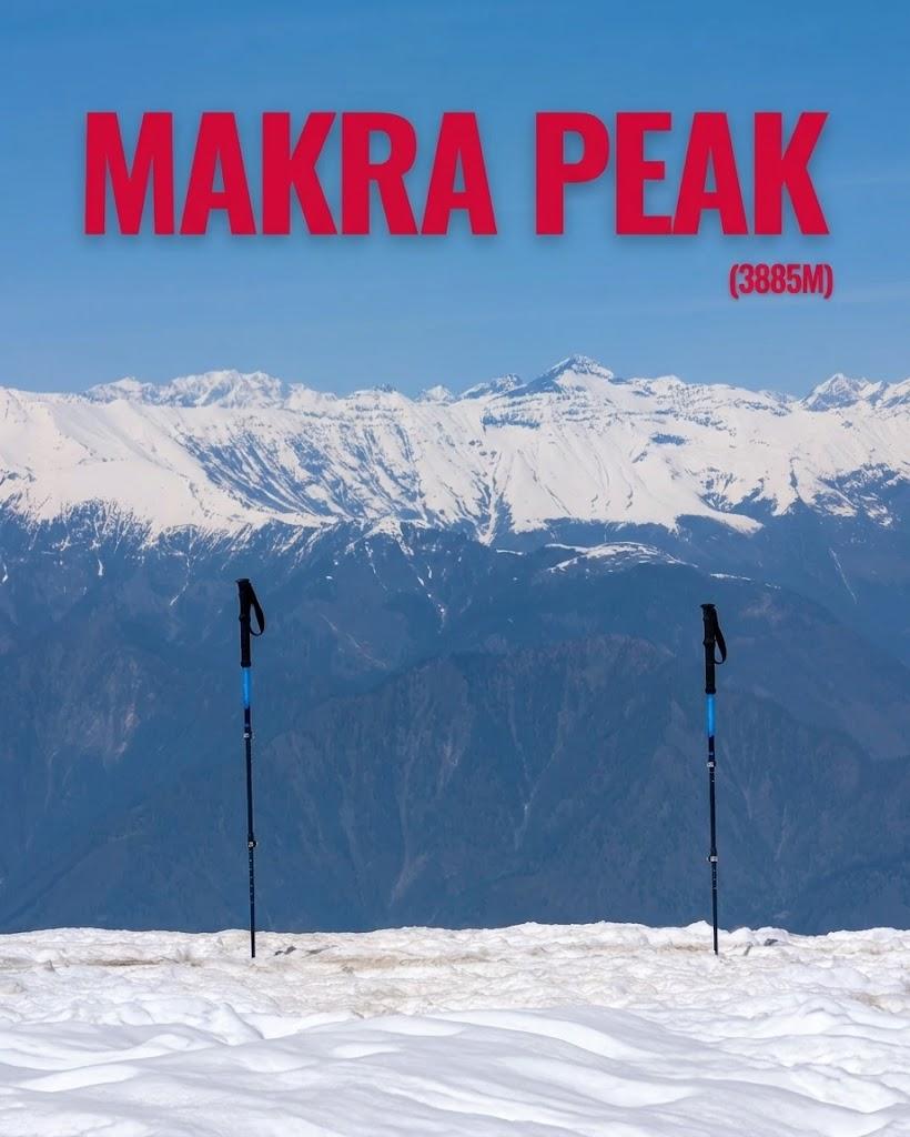
Makra Peak
Makra Peak is a 14.1 km trek in the Naran & Kaghan region of northern Pakistan with around 1,337 m of elevation gain.
- Difficulty
- Expert
- Distance
- 14.1km
- Elevation gain
- 1,600 m
- Duration
- 6h
- Best season
- Jun – Sep
The journey
Makra Peak is a 14.1km expert-level hike in Mansehra. It climbs 1,600 m and takes about 6h.
Makra Peak is a 14.1 km trek in the Naran & Kaghan region of northern Pakistan with around 1,337 m of elevation gain.
Trail Statistics
Trail map
Elevation profile
Climb over the length of the trail. Tap or drag along it to read elevation and grade.
Weather
Five-day forecast at the trailhead, 2,372 m.
Today
11°7°
Tomorrow
18°4°
Precipitation 2
Sat
20°8°
Sun
20°8°
Precipitation 0.1
Mon
21°9°
Precipitation 0.1
Expect roughly 10°C colder at the high point (3,886 m), before wind chill. Mountain weather turns faster than any forecast.
Forecast from MET Norway, updated hourly.
Frequently asked questions
Where is the standard trailhead for Makra Peak?
The trek starts from Paye Meadows, reachable by 4x4 jeep from Shogran.
Why is it called "Makra" Peak?
The name literally means "Spider Peak" because the snow formations and creeping glaciers along its slopes resemble the texture of a giant spider web
Can you see other famous mountains from the summit?
Yes, a clear day at the peak offers panoramic views of the mighty Malika Parbat, Musa Ka Musalla, and the vast valleys of both Hazara and Azad Kashmir
How long does the final push to the summit take?
While the total trek from the meadows covers about 7 to 10 kilometers, the steep, rocky final incline typically takes 4 to 5 hours of continuous climbing
What is the altitude of the summit?
Makra Peak has a summit height of 3,885 meters (12,746 feet) above sea level.
Photos from hikers
Recent shots from the community on this trail
No community photos yet. Been here? Add the first one.
Reviews
Ratings and recent conditions from the community
No reviews yet. Hiked this trail? Be the first to share conditions and help other hikers.