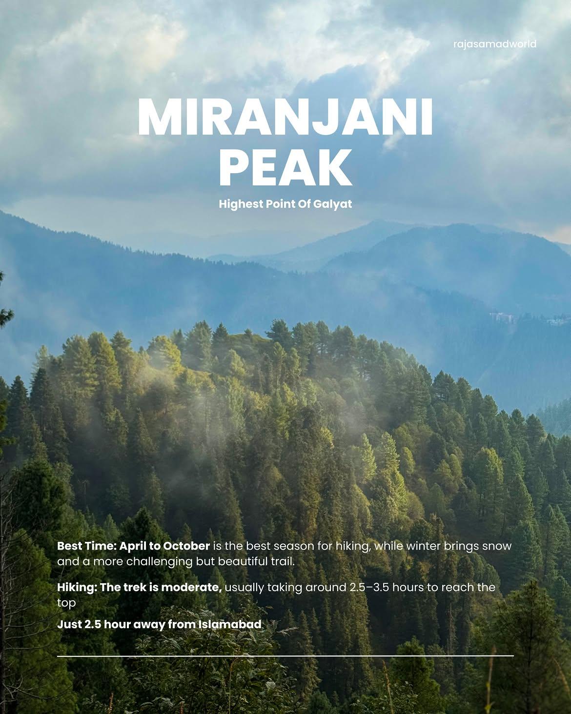
Miranjani Top
The Miranjani Top is the highest mountain peak in the scenic Galyat Region of Abbottabad District, located within the protected Ayubia National Park network. Standing as an iconic destination for avid trekkers and nature lovers, this majestic trail cuts through thick pine forests and opens up into pristine alpine meadows that present a slightly more challenging and rewarding climb than neighboring peaks.
- Difficulty
- Moderate
- Distance
- 5.1km
- Elevation gain
- 596 m
- Duration
- 3h
- Best season
- May – Oct
The journey
Miranjani Top is a 5.1km moderate hike near Nathia Gali. It climbs 596 m and takes about 3h.
The Miranjani Top is the highest mountain peak in the scenic Galyat Region of Abbottabad District, located within the protected Ayubia National Park network. Standing as an iconic destination for avid trekkers and nature lovers, this majestic trail cuts through thick pine forests and opens up into pristine alpine meadows that present a slightly more challenging and rewarding climb than neighboring peaks.
Trail Statistics
Trail map
Elevation profile
Climb over the length of the trail. Tap or drag along it to read elevation and grade.
Weather
Five-day forecast at the trailhead, 2,347 m.
Today
11°10°
Tomorrow
20°9°
Precipitation 0.6
Sat
21°11°
Precipitation 0.1
Sun
20°11°
Precipitation 0.5
Mon
21°12°
Precipitation 0.3
Expect roughly 4°C colder at the high point (2,946 m), before wind chill. Mountain weather turns faster than any forecast.
Forecast from MET Norway, updated hourly.
Frequently asked questions
Is Miranjani suitable for beginners?
It is possible for fit beginners, but the sustained uphill climb requires reasonable fitness.
Can you reach the trailhead by car?
Yes, the trailhead near Nathia Gali/Ayubia is accessible by road
Is the trail well-marked?
The main route is established, but downloading the GPX/offline map is recommended.
Is mobile signal available?
Mobile coverage is generally weak to moderate, so offline navigation is recommended
Is drinking water available?
Hikers should carry their own drinking water rather than rely on sources along the route.
When is Miranjani inaccessible?
Snow can cover the trail during winter, making conditions considerably harder
Is it safe for solo hikers?
It is a popular hiking route, but solo hikers should stay on the established route and avoid poor weather.
Trail gallery
Trail Photos
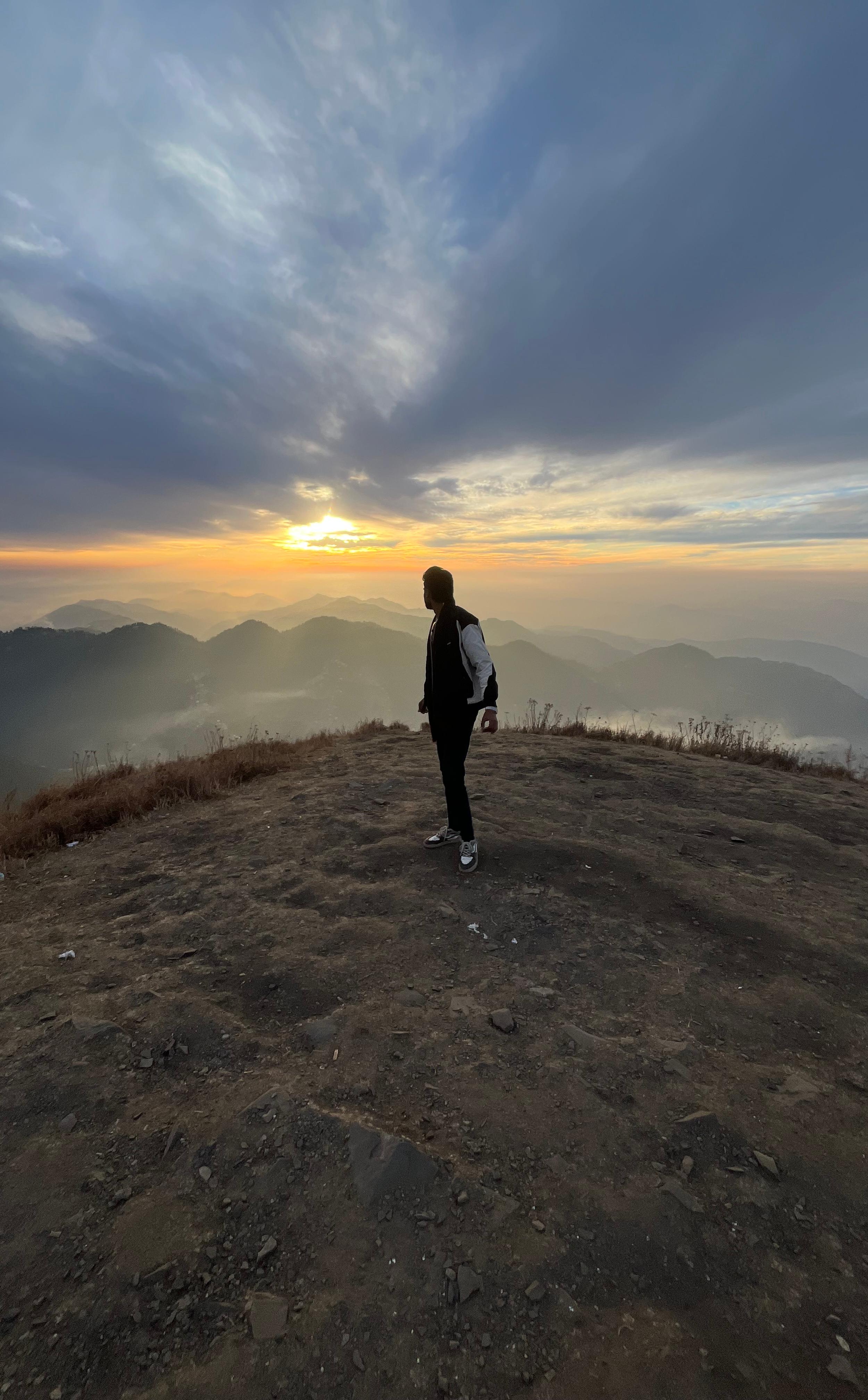
Photos from hikers
Recent shots from the community on this trail
Reviews
Ratings and recent conditions from the community
No reviews yet. Hiked this trail? Be the first to share conditions and help other hikers.