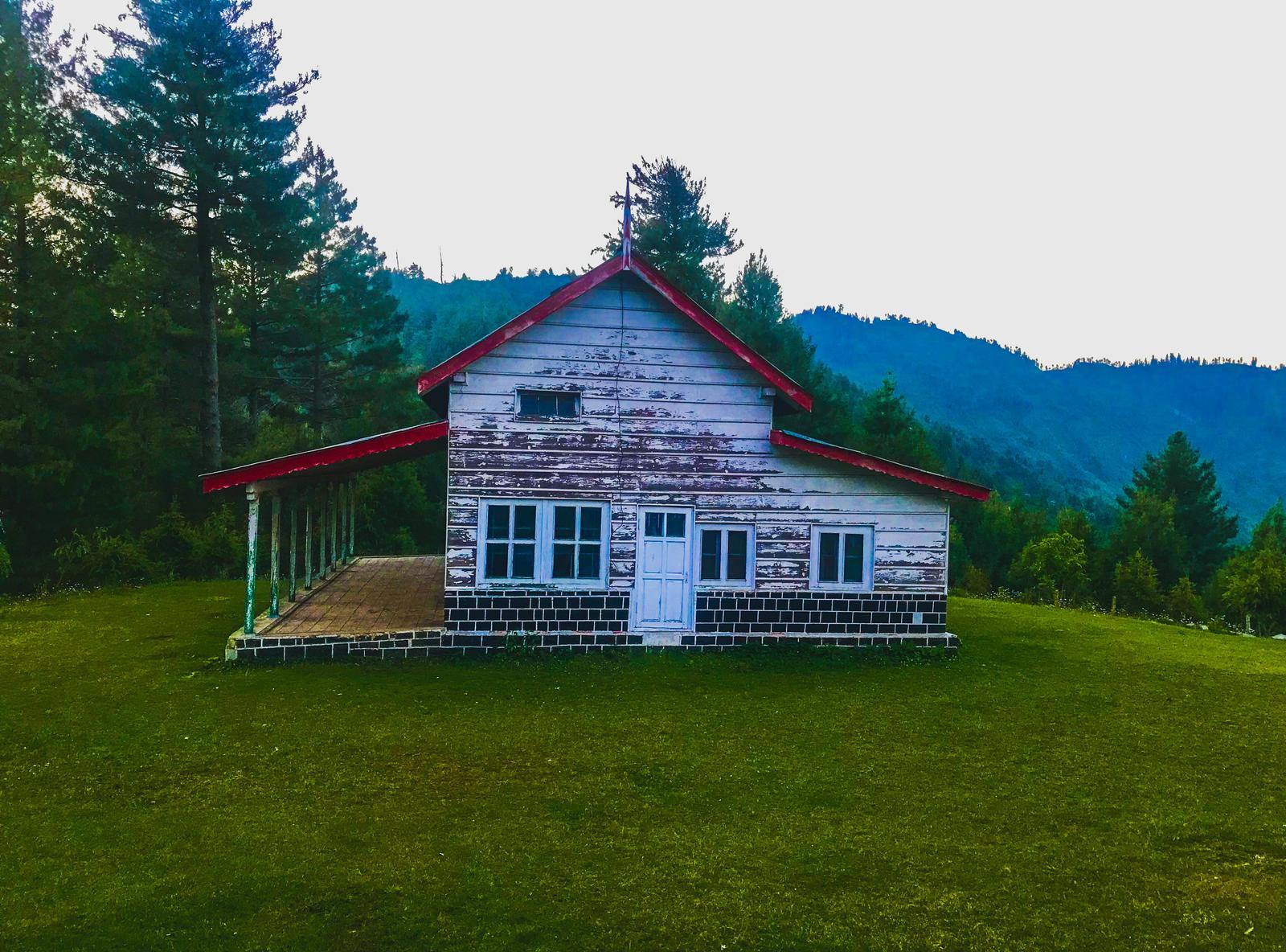
Sattu Bangla
- Difficulty
- Easy
- Distance
- 7.4km
- Elevation gain
- 160 m
- Duration
- 2h
- Best season
- May – Oct
The journey
Sattu Bangla is a 7.4km easy hike in Abbottabad. It climbs 160 m and takes about 2h.
Trail Statistics
Trail map
Elevation profile
Climb over the length of the trail. Tap or drag along it to read elevation and grade.
Weather
Five-day forecast at the trailhead, 2,252 m.
Today
17°10°
Precipitation 4.3
Tomorrow
20°11°
Precipitation 1
Sat
21°13°
Precipitation 0.1
Sun
21°14°
Precipitation 0.9
Mon
22°14°
Precipitation 0.2
Forecast from MET Norway, updated hourly.
Frequently asked questions
Where is the trailhead for Sattu Bangla?
The trail typically starts near Kuzagali or Ayubia along the Galyat forest belt.
What type of terrain does the track cover?
It is an easy-to-moderate dirt path winding through dense pine, fir, and oak canopies.
Can beginners and families do this trek?
Yes, the gentle elevation gain makes it well-suited for beginners and casual day hikers.
Is the historical bungalow still functional?
No, only the colonial-era stone ruins remain amidst the forest clearing.
Are leeches or insects an issue here?
Insects and occasional leeches can be active during wet monsoon months from July to August.
Trail gallery
Trail Photos
Photos from hikers
Recent shots from the community on this trail
No community photos yet. Been here? Add the first one.
Reviews
Ratings and recent conditions from the community
No reviews yet. Hiked this trail? Be the first to share conditions and help other hikers.