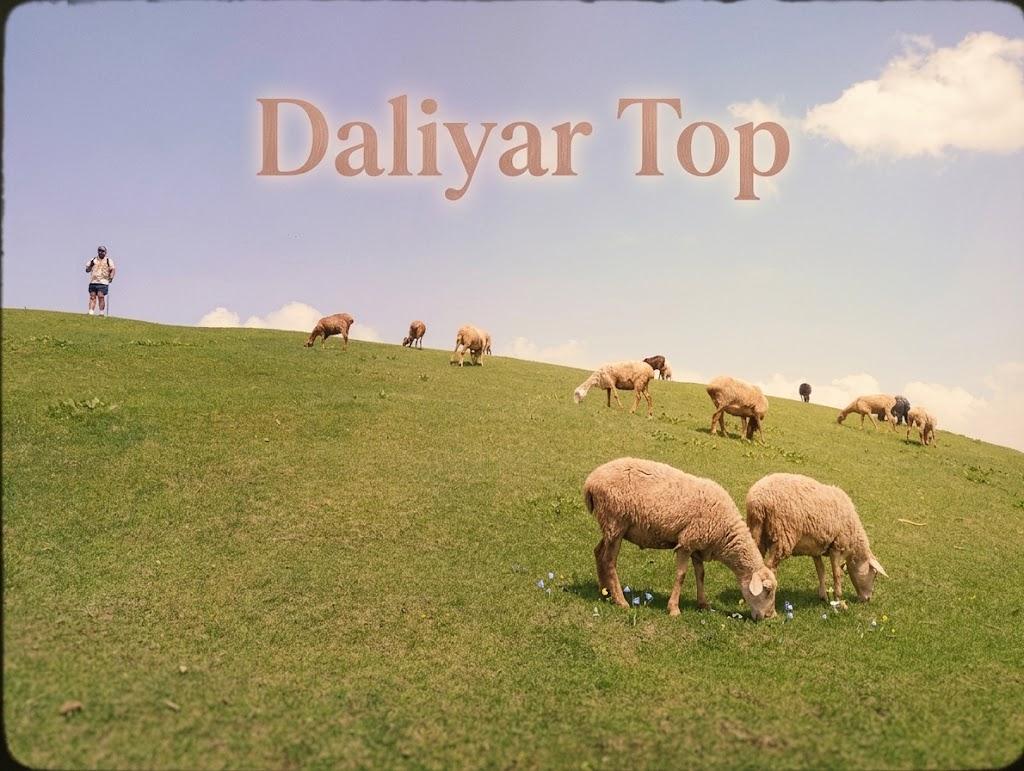
Daliyar Top
- Difficulty
- Hard
- Distance
- 5.7km
- Elevation gain
- 1,038 m
- Duration
- 3h
- Best season
- Jun – Sep
The journey
Daliyar Top is a 5.7km hard hike in Mansehra. It climbs 1,038 m and takes about 3h.
Trail Statistics
Trail map
Elevation profile
Climb over the length of the trail. Tap or drag along it to read elevation and grade.
Weather
Five-day forecast at the trailhead, 1,571 m.
Today
21°12°
Precipitation 3.2
Tomorrow
24°12°
Precipitation 0.5
Sat
25°14°
Sun
24°15°
Mon
25°15°
Precipitation 0.1
Expect roughly 6°C colder at the high point (2,508 m), before wind chill. Mountain weather turns faster than any forecast.
Forecast from MET Norway, updated hourly.
Frequently asked questions
What is the altitude at top?
Daliyar Top reaches a maximum elevation of approximately 8200 feet (2500 meters) above sea level
Which legendary regional landmarks can be spotted from the summit on a clear day?
The sweeping 360-degree panorama offers clean sightlines toward the iconic Musa Ka Musala peak and the historic Munro Track.
How does the flora transition as hikers push from the base to the high ridgeline?
The trail begins under a heavy, fragrant canopy of deep pine and deodar forests before breaking out into wide, completely exposed sub-alpine meadows
Why are snowshoes highly recommended for this hike between January and March?
The final crest of the ridge is prone to forming hard, slick ice crusts over deep snow drifts that can cause slips on the steep slopes.
Why is a local guide highly recommended despite the trail being an "out-and-back" route?
The sprawling forest paths near the base have multiple intersecting woodcutter trails that can easily disorient hikers trying to find the main ridge line.
Photos from hikers
Recent shots from the community on this trail
No community photos yet. Been here? Add the first one.
Reviews
Ratings and recent conditions from the community
No reviews yet. Hiked this trail? Be the first to share conditions and help other hikers.