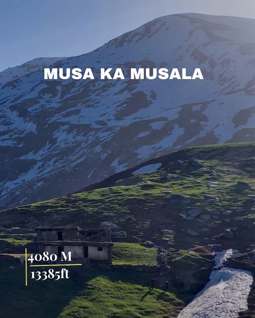
Musa Ka Musalla
Musa Ka Musalla is a 35.1 km trek in the Naran & Kaghan region of northern Pakistan with around 1,872 m of elevation gain.
- Difficulty
- Expert
- Distance
- 35.1km
- Elevation gain
- 2,481 m
- Duration
- 12h
- Best season
- Jun – Sep
The journey
Musa Ka Musalla is a 35.1km expert-level out-and-back hike in Mansehra. It climbs 2,481 m and takes about 12h.
Musa Ka Musalla is a 35.1 km trek in the Naran & Kaghan region of northern Pakistan with around 1,872 m of elevation gain.
Trail Statistics
Trail map
Elevation profile
Climb over the length of the trail. Tap or drag along it to read elevation and grade.
Weather
Five-day forecast at the trailhead, 1,692 m.
Today
16°12°
Precipitation 0.1
Tomorrow
22°10°
Precipitation 1.1
Sat
23°14°
Precipitation 0.7
Sun
22°15°
Precipitation 0.7
Mon
23°15°
Precipitation 0.3
Expect roughly 15°C colder at the high point (4,001 m), before wind chill. Mountain weather turns faster than any forecast.
Forecast from MET Norway, updated hourly.
Frequently asked questions
What are the primary routes to summit Musa Ka Musalla?
The most common approaches are via Manda Gucha in Siran Valley or via Paras/Sharan Forest in Kaggan Valley.
What is the summit elevation of Musa Ka Musalla?
The peak sits at approximately 4,076 meters (13,372 feet) above sea level.
Is there technical climbing involved to reach the prayer shrine?
No technical mountaineering is required, but it demands excellent endurance for relentless ridge ascents.
What physical landmark occupies the highest point of the summit?
The very top features a stone-built shrine (ziarat) decorated with colorful flags dedicated to the legendary shepherd saint
Where is the final water source located before making a summit push?
Fresh stream water is completely unavailable after you pass the high meadows of Khorori / Naaga, requiring hikers to pack all liquid supplies for the final ridge ascent
Photos from hikers
Recent shots from the community on this trail
No community photos yet. Been here? Add the first one.
Reviews
Ratings and recent conditions from the community
No reviews yet. Hiked this trail? Be the first to share conditions and help other hikers.