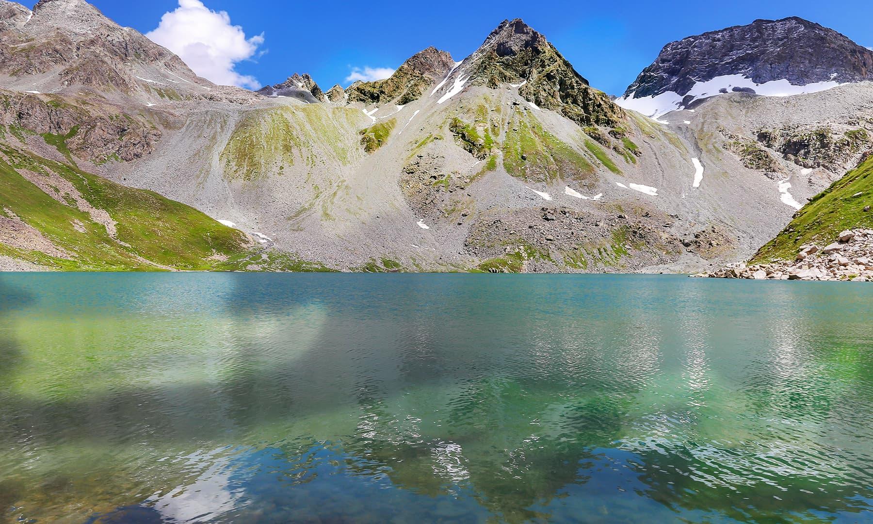
Pearl Lake (Mastij Lake)
- Difficulty
- Expert
- Distance
- 12.4km
- Elevation gain
- 1,896 m
- Duration
- 6h
- Best season
- May – Oct
The journey
Pearl Lake (Mastij Lake) is a 12.4km expert-level hike in Swat & Kalam. It climbs 1,896 m and takes about 6h.
Trail Statistics
Trail map
Day by day
This trek is walked over 2 days. Each leg has its own recorded track.
| Day | Distance | Ascent | Time | Grade |
|---|---|---|---|---|
| 1Blue Water To Mastij Banda | 11.0km | +1,456m | 5h | Expert |
| 2Mastij Banda To Mastij Lake | 1.4km | +440m | 1h | Moderate |
Distances are for each leg, not the whole trek.
Elevation profile
Climb over the length of the trail. Tap or drag along it to read elevation and grade.
Weather
Five-day forecast at the trailhead, 2,265 m.
Today
7°6°
Tomorrow
18°5°
Precipitation 1.3
Sat
21°5°
Precipitation 0.1
Sun
21°6°
Precipitation 1.4
Mon
22°6°
Precipitation 0.6
Expect roughly 11°C colder at the high point (3,914 m), before wind chill. Mountain weather turns faster than any forecast.
Forecast from MET Norway, updated hourly.
Frequently asked questions
Where is Pearl Lake located?
It is tucked in the upper alpine zone of Kaghan Valley, branching off routes near the Babusar / Gitidas region.
How difficult is the trek to Mastij Lake?
It is a moderately difficult high-altitude trek involving loose rocks, stream crossings, and steady ascent.
Does the water actually change colors?
Yes. The water features multi-tonal properties due to shifting sunlight and glacial silt. A straight-on view displays a brilliant turquoise blue, an overhead view turns the lake into a crisp sky mirror, and certain side angles reveal a deep, completely transparent clear blue
Why do non-locals frequently fail to reach the lake?
Many travelers underestimate the terrain and attempt to push through in a single day, which often results in exhaustion or altitude sickness. Experienced regional trekkers on travel forums emphasize that a continuous 7-to-10 hour uphill scramble is highly punishing for non-locals
What is the community-recommended, realistic itinerary?
Rather than rushing, veteran hikers recommend a 3-to-4 day strategic split: Day 1: Start from the Anakar Valley's "Blue Water" point in Kalam, trekking 4 to 5 hours to set up camp at Janshai Meadows or Gujjar Banda. Day 2: Hike up to the base near Mastij Waterfall, utilizing this area as a staging ground. Day 3: Make the steep final push to the lake itself, absorb the views, and track back down to the meadows to camp. Day 4: back to Kalam
Trail gallery
Trail Photos
Photos from hikers
Recent shots from the community on this trail
No community photos yet. Been here? Add the first one.
Reviews
Ratings and recent conditions from the community
No reviews yet. Hiked this trail? Be the first to share conditions and help other hikers.