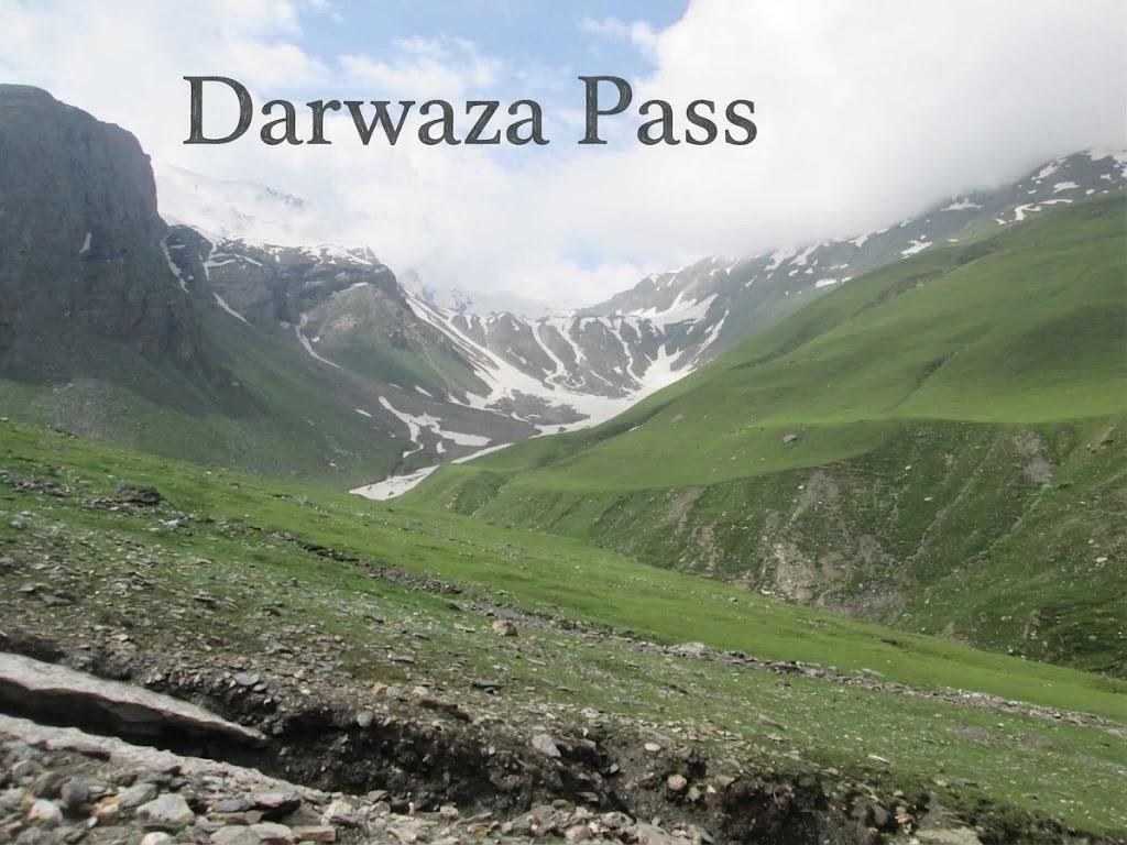
Darwaza Pass
- Difficulty
- Expert
- Distance
- 54.9km
- Elevation gain
- 3,375 m
- Duration
- 23h
- Best season
- May – Oct
The journey
Darwaza Pass is a 54.9km expert-level hike in Swat & Kalam. It climbs 3,375 m and takes about 23h.
Trail Statistics
Trail map
Elevation profile
Climb over the length of the trail. Tap or drag along it to read elevation and grade.
Weather
Five-day forecast at the trailhead, 1,724 m.
Today
11°11°
Tomorrow
20°11°
Precipitation 3.4
Sat
23°13°
Precipitation 0.9
Sun
23°14°
Precipitation 0.7
Mon
24°15°
Precipitation 0.2
Expect roughly 16°C colder at the high point (4,256 m), before wind chill. Mountain weather turns faster than any forecast.
Forecast from MET Norway, updated hourly.
Frequently asked questions
Where do we start?
The Darwaza Pass Trek begins in the Broghil Valley near Ishkarwaqz, located in Pakistan's northern mountains near the Afghan border.
Why does the Darwaza Pass hold immense geopolitical and historic intrigue for travelers?
At 13,900 feet, this rugged pass serves as a strategic gateway positioned right on the lip of Afghanistan's Wakhan Corridor, offering views that stretch toward Tajikistan.
What cultural spectacle takes place annually in the broad meadows near the trail?
The remote settlement of Lashkargaz hosts a traditional, high-altitude polo festival where Wakhi highlanders assemble to compete.
What wildlife can be there?
The flat riverbanks and pastures are heavily shared with herds of yaks, horses grazing freely. (siberian ibex and snow leopards hide in the mountains :3)
How does this route connect with the legendary Karambar Lake trek?
It serves as a rugged, less-traveled bypass that seasoned trekkers use to loop between the Broghil settlements and the massive Karambar basin
Photos from hikers
Recent shots from the community on this trail
No community photos yet. Been here? Add the first one.
Reviews
Ratings and recent conditions from the community
No reviews yet. Hiked this trail? Be the first to share conditions and help other hikers.