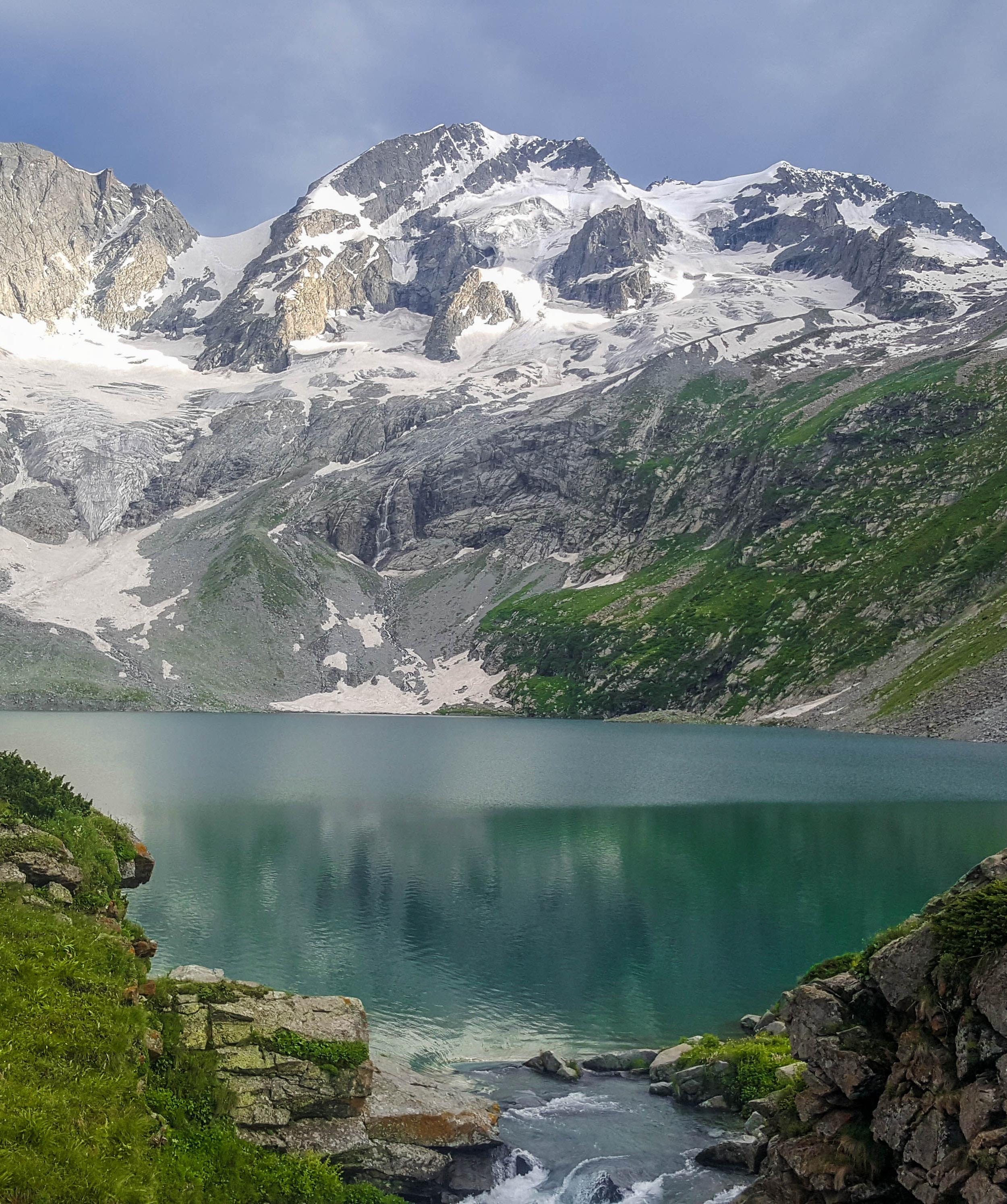
Jahaz Banda To Katora Lake
Jahaz Banda To Katora Lake is a 6.2 km trek in the Kumrat Valley region of northern Pakistan with around 792 m of elevation gain.
- Difficulty
- Moderate
- Distance
- 6.2km
- Elevation gain
- 466 m
- Duration
- 3h
- Best season
- May – Oct
The journey
Jahaz Banda To Katora Lake is a 6.2km moderate hike in Kumrat Valley. It climbs 466 m and takes about 3h.
Jahaz Banda To Katora Lake is a 6.2 km trek in the Kumrat Valley region of northern Pakistan with around 792 m of elevation gain.
Trail Statistics
Trail map
Elevation profile
Climb over the length of the trail. Tap or drag along it to read elevation and grade.
Weather
Five-day forecast at the trailhead, 3,095 m.
Today
13°3°
Precipitation 1.5
Tomorrow
15°5°
Precipitation 0.1
Sun
15°6°
Precipitation 0.7
Mon
17°6°
Tue
16°6°
Precipitation 0.6
Forecast from MET Norway, updated hourly.
Frequently asked questions
What is the physical distance and time required?
It is a 4 to 5 km trek one way that typically takes 3 to 5 hours to ascend due to the high elevation.
How do hikers cross the midway water body?
There is a small intermediate lake where local boat operators charge a small fee to ferry you across to the final trail section.
Can we camp directly on the banks of Katora Lake?
No, camping is not recommended at the lake basin; you should do this as a day hike and return to Jahaz Banda to sleep.
What is the altitude change on this route?
You will climb from 3,100 metres at Jahaz Banda to a breathless 3,500 metres at the lake basin.
Is there a place to rest or get food at the lake?
A small rustic chai hut operates near the lake edge during peak summer, offering hot tea and light snacks.
Photos from hikers
Recent shots from the community on this trail
No community photos yet. Been here? Add the first one.
Reviews
Ratings and recent conditions from the community
No reviews yet. Hiked this trail? Be the first to share conditions and help other hikers.