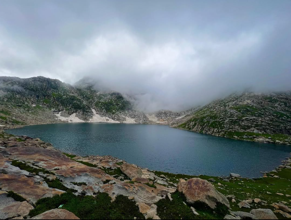
Saidgai Lake
Saidgai Lake is a 26.7 km trek in the Swat & Kalam region of northern Pakistan with around 2,570 m of elevation gain.
- Difficulty
- Expert
- Distance
- 26.7km
- Elevation gain
- 2,453 m
- Duration
- 11h
- Best season
- May – Oct
The journey
Saidgai Lake is a 26.7km expert-level hike in Swat & Kalam. It climbs 2,453 m and takes about 11h.
Saidgai Lake is a 26.7 km trek in the Swat & Kalam region of northern Pakistan with around 2,570 m of elevation gain.
Trail Statistics
Trail map
Elevation profile
Climb over the length of the trail. Tap or drag along it to read elevation and grade.
Weather
Five-day forecast at the trailhead, 2,234 m.
Today
9°9°
Tomorrow
18°9°
Precipitation 0.1
Sat
19°12°
Precipitation 0.2
Sun
19°12°
Precipitation 0.9
Mon
21°12°
Precipitation 0.1
Expect roughly 11°C colder at the high point (3,927 m), before wind chill. Mountain weather turns faster than any forecast.
Forecast from MET Norway, updated hourly.
Frequently asked questions
Where does the Saidgai Lake trail start?
Common trailheads include Matiltan in Kalam (Swat) or Sulatanr valley, crossing high alpine passes.
How long does the trek to Saidgai Lake take?
It requires 2 to 3 days of rigorous trekking round-trip.
What is the prime season for hiking Saidgai?
July to September, when glacial runoff clears the lower approach tracks.
Are there permanent huts or food points at the lake?
No, there are zero commercial facilities; hikers must carry all rations, fuel, and shelters.
What is the biggest challenge on this trail?
Steep, boulder-strewn ascents over high passes with sudden fog and localized rain.
Photos from hikers
Recent shots from the community on this trail
No community photos yet. Been here? Add the first one.
Reviews
Ratings and recent conditions from the community
No reviews yet. Hiked this trail? Be the first to share conditions and help other hikers.