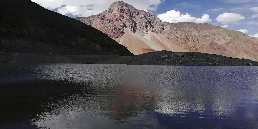
Ghamobar Lake
- Difficulty
- Beginner
- Distance
- 1.9km
- Elevation gain
- 57 m
- Duration
- 36min
- Best season
- Jun – Sep
The journey
Ghamobar Lake is a 1.9km beginner-friendly hike in Ghizer Valley. It climbs 57 m and takes about 36min.
Trail Statistics
Trail map
Elevation profile
Climb over the length of the trail. Tap or drag along it to read elevation and grade.
Weather
Five-day forecast at the trailhead, 2,676 m.
Today
14°8°
Precipitation 2.4
Tomorrow
10°1°
Precipitation 6.8
Fri
12°-2°
Precipitation 0.2
Sat
14°4°
Precipitation 0.2
Sun
14°5°
Precipitation 0.5
Forecast from MET Norway, updated hourly.
Frequently asked questions
Where does the trail to Ghamobar Lake commence?
The hike starts past Darkut village at the northern end of Yasin Valley in Ghizer
What primary glacier feeds Ghamobar Lake?
The massive Ghamu Bar Glacier, descending directly from Ghamubar Zom (6,518m), feeds the lake basin.
What makes this route historically significant?
It lies near the historic Darkut Pass, the ancient route connecting Yasin to the Chitral/Wakhan corridor.
Is the trail vulnerable to glacial lake outburst floods (GLOF)?
Yes, afternoon seasonal water surges require hikers to remain on higher lateral ridges.
Why is Ghamubar Lake considered a modern geographic anomaly?
It is an "accidental lake" rapidly created in recent years by the abrupt retreat and melting of the Ghamubar Glacier.
Trail gallery
Trail Photos
Photos from hikers
Recent shots from the community on this trail
No community photos yet. Been here? Add the first one.
Reviews
Ratings and recent conditions from the community
No reviews yet. Hiked this trail? Be the first to share conditions and help other hikers.