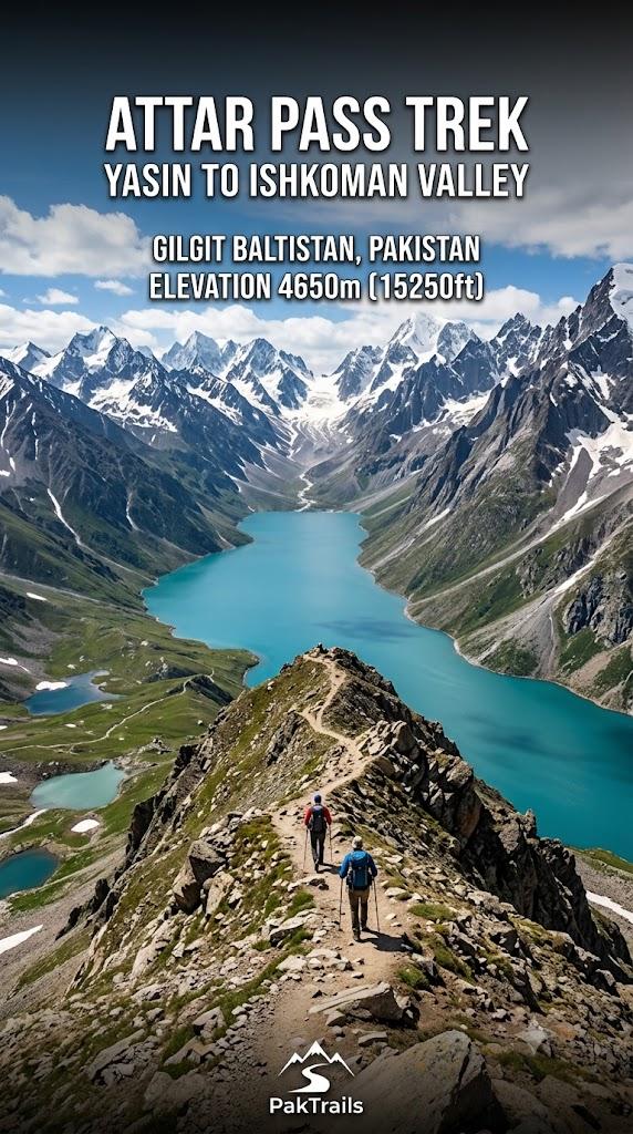
Attar Pass
Attar Pass is a 42.8 km trek in the Ghizer Valley region of northern Pakistan with around 1,912 m of elevation gain.
- Difficulty
- Expert
- Distance
- 42.8km
- Elevation gain
- 1,794 m
- Duration
- 14h
- Best season
- Jun – Sep
The journey
Attar Pass is a 42.8km expert-level hike in Ghizer Valley. It climbs 1,794 m and takes about 14h.
Attar Pass is a 42.8 km trek in the Ghizer Valley region of northern Pakistan with around 1,912 m of elevation gain.
Trail Statistics
Trail map
Elevation profile
Climb over the length of the trail. Tap or drag along it to read elevation and grade.
Weather
Five-day forecast at the trailhead, 2,680 m.
Today
14°8°
Precipitation 2.1
Tomorrow
9°-2°
Precipitation 18.9
Fri
10°-4°
Sat
14°1°
Precipitation 0.1
Sun
15°7°
Precipitation 0.3
Expect roughly 13°C colder at the high point (4,609 m), before wind chill. Mountain weather turns faster than any forecast.
Forecast from MET Norway, updated hourly.
Frequently asked questions
Which two main valleys does Attar Pass directly connect?
It connects the Gotulti/Ghutolti valley in Ishkoman directly to Darkot in the Yasin Valley.
What is the primary village base to begin the trek from the Ishkoman side?
Gotulti (Ghutolti) village serves as the traditional roadhead and porter hiring hub.
Are there permanent settlements or teahouses between Gotulti and Darkot?
No, the entire mid-section consists of wild grazing pastures with seasonal shepherd huts, requiring full self-sufficient camping logistics.
Does it have any lake?
Near the pass lies Attar Lake, a pristine high-altitude body of water sitting at around 3,850 meters, surrounded by glaciers and wild alpine meadows
Photos from hikers
Recent shots from the community on this trail
No community photos yet. Been here? Add the first one.
Reviews
Ratings and recent conditions from the community
No reviews yet. Hiked this trail? Be the first to share conditions and help other hikers.