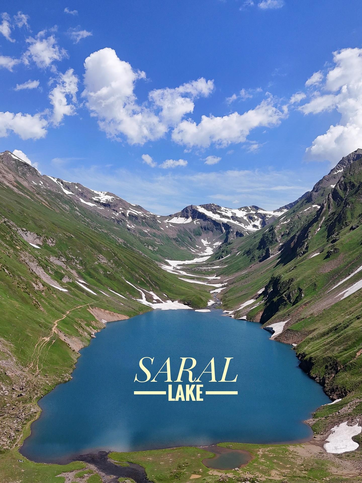
Saral Lake
Saral Lake is a 12.2 km trek in the Azad Kashmir region of northern Pakistan with around 411 m of elevation gain.
- Difficulty
- Moderate
- Distance
- 12.2km
- Elevation gain
- 490 m
- Duration
- 4h
- Best season
- Jun – Sep
The journey
Saral Lake is a 12.2km moderate hike in Neelum Valley. It climbs 490 m and takes about 4h.
Saral Lake is a 12.2 km trek in the Azad Kashmir region of northern Pakistan with around 411 m of elevation gain.
Trail Statistics
Trail map
Elevation profile
Climb over the length of the trail. Tap or drag along it to read elevation and grade.
Weather
Five-day forecast at the trailhead, 3,579 m.
Today
3°0°
Tomorrow
8°-2°
Precipitation 1.9
Sat
11°-1°
Precipitation 1.4
Sun
12°-3°
Precipitation 1.7
Mon
13°-2°
Precipitation 2.1
Expect roughly 4°C colder at the high point (4,123 m), before wind chill. Mountain weather turns faster than any forecast.
Forecast from MET Norway, updated hourly.
Frequently asked questions
Which route is commonly used to access Saral Lake?
It is accessed either via Jalkhad through Saral Pass or directly from Gamot National Park in Neelum Valley.
What is the difficulty level of the Saral Pass trek?
It is strenuous, involving steep loose scree, snow patches, and an altitude exceeding 4,000 meters.
Can you camp at Saral Lake?
Yes, flat grassy patches near the lake banks are suitable for self-supported wilderness camping.
Are pack mules available for the trek?
Yes, porters and mules can be hired at the base settlements like Jalkhad or Kel.
When does Saral Pass become impassable?
Heavy snowfall typically closes the pass by late September or early October.
Photos from hikers
Recent shots from the community on this trail
No community photos yet. Been here? Add the first one.
Reviews
Ratings and recent conditions from the community
No reviews yet. Hiked this trail? Be the first to share conditions and help other hikers.