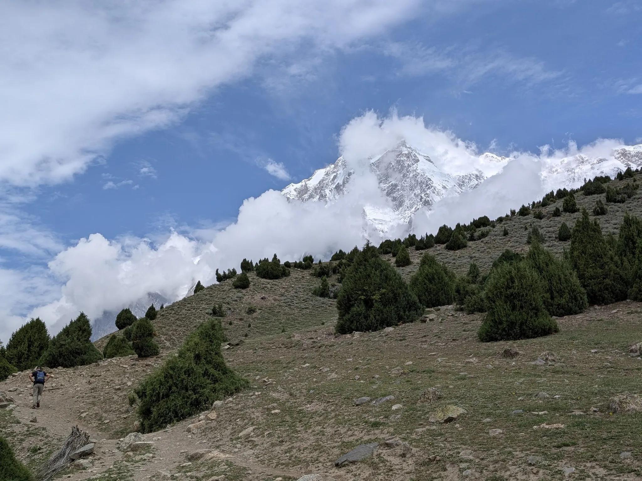
Nanga Parbat Rupal Face
- Difficulty
- Moderate
- Distance
- 9.8km
- Elevation gain
- 697 m
- Duration
- 4h
- Best season
- Jun – Sep
The journey
Nanga Parbat Rupal Face is a 9.8km moderate hike in Astore Valley. It climbs 697 m and takes about 4h.
Trail Statistics
Trail map
Elevation profile
Climb over the length of the trail. Tap or drag along it to read elevation and grade.
Weather
Five-day forecast at the trailhead, 2,965 m.
Today
9°4°
Precipitation 10
Tomorrow
9°3°
Precipitation 5.9
Sat
13°0°
Sun
13°3°
Precipitation 3.8
Mon
12°3°
Precipitation 3.3
Expect roughly 4°C colder at the high point (3,570 m), before wind chill. Mountain weather turns faster than any forecast.
Forecast from MET Norway, updated hourly.
Frequently asked questions
Where is the starting point for the Rupal Face trek?
The trailhead starts from Tarashing village in the Astore Valley.
How difficult is the trek to Herrligkoffer Base Camp?
It is an easy-to-moderate 2 to 3-hour trek over moraine, suitable even for novice alpine hikers.
Can you see the Rupal Face clearly from the base camp?
Yes, the campsite sits directly beneath the 4,600-meter sheer vertical wall of Nanga Parbat.
Is a 4x4 vehicle required to reach the trailhead?
Yes, a 4x4 jeep is usually necessary to travel the rough track from Astore town to Tarashing.
Are local guides and pack horses available in Tarashing?
Yes, local mountain guides and porters or horses can be easily hired directly in Tarashing village.
Trail gallery
Trail Photos
Photos from hikers
Recent shots from the community on this trail
No community photos yet. Been here? Add the first one.
Reviews
Ratings and recent conditions from the community
No reviews yet. Hiked this trail? Be the first to share conditions and help other hikers.