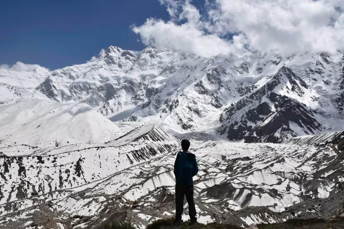
Nanga Parbat Basecamp
Nanga Parbat Basecamp is a 11.3 km trek in the Fairy Meadows region of northern Pakistan with around 710 m of elevation gain.
- Difficulty
- Moderate
- Distance
- 11.3km
- Elevation gain
- 591 m
- Duration
- 4h
- Best season
- Jun – Sep
The journey
Nanga Parbat Basecamp is an 11.3km moderate out-and-back hike in Fairy Meadows. It climbs 591 m and takes about 4h.
Nanga Parbat Basecamp is a 11.3 km trek in the Fairy Meadows region of northern Pakistan with around 710 m of elevation gain.
Trail Statistics
Trail map
Elevation profile
Climb over the length of the trail. Tap or drag along it to read elevation and grade.
Weather
Five-day forecast at the trailhead, 3,553 m.
Today
3°2°
Precipitation 1.9
Tomorrow
8°1°
Precipitation 5
Sat
13°2°
Sun
13°4°
Precipitation 0.4
Mon
14°4°
Precipitation 0.2
Expect roughly 4°C colder at the high point (4,104 m), before wind chill. Mountain weather turns faster than any forecast.
Forecast from MET Norway, updated hourly.
Frequently asked questions
Can you reach Nanga Parbat Basecamp without mountaineering experience?
Yes, the Fairy Meadows route is a non-technical trek and does not require climbing equipment.
Do you need to acclimatize before hiking to Basecamp?
Yes, spending time at Fairy Meadows before ascending is advisable because Basecamp is close to 4,000 metres.
What is the last place with accommodation before Basecamp?
Beyal Camp provides basic accommodation and is the final developed stopping point before the higher section.
Can you do Nanga Parbat Basecamp in one day?
Yes, fit hikers can make it a long day trip from Fairy Meadows, although an overnight itinerary is more comfortable.
Do you need a guide for Nanga Parbat Basecamp?
The route is established, but a local guide is recommended, particularly because of altitude and changing mountain conditions.
What can you see from Nanga Parbat Basecamp?
The route culminates beneath the dramatic Raikot Face of Nanga Parbat, one of the world's highest mountain faces.
Trail gallery
Trail Photos
Photos from hikers
Recent shots from the community on this trail
No community photos yet. Been here? Add the first one.
Reviews
Ratings and recent conditions from the community
No reviews yet. Hiked this trail? Be the first to share conditions and help other hikers.