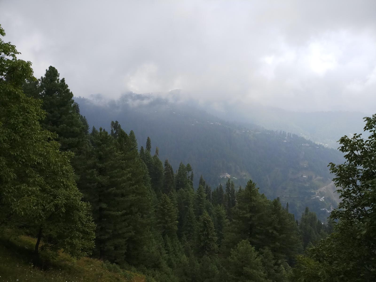
Kuzagali To Khairagali
- Difficulty
- Easy
- Distance
- 9.0km
- Elevation gain
- 205 m
- Duration
- 3h
- Best season
- May – Oct
The journey
Kuzagali To Khairagali is a 9.0km easy hike in Galiyat. It climbs 205 m and takes about 3h.
Trail Statistics
Trail map
Elevation profile
Climb over the length of the trail. Tap or drag along it to read elevation and grade.
Weather
Five-day forecast at the trailhead, 2,280 m.
Today
14°11°
Tomorrow
21°11°
Precipitation 0.2
Sun
21°11°
Precipitation 0.1
Mon
21°11°
Precipitation 0.4
Tue
21°12°
Precipitation 0.3
Forecast from MET Norway, updated hourly.
Frequently asked questions
What unique colonial-era relic can be seen running along portions of this trail?
The trail follows the historic British-era pipeline track, which was originally built to supply water to the Murree hills.
How heavily forested is the route compared to other paths in the Galiyat region?
The entire path is heavily sheltered by a dense canopy of towering pine and cedar trees, providing excellent shade.
What kind of wildlife are hikers most likely to encounter on this specific track?
The dense pine canopy is home to a massive population of wild rhesus monkeys that frequently interact with visitors.
What makes this route an ideal choice for absolute beginners or family groups?
What makes this route an ideal choice for absolute beginners or family groups? The path has virtually zero steep inclines or declines
Photos from hikers
Recent shots from the community on this trail
No community photos yet. Been here? Add the first one.
Reviews
Ratings and recent conditions from the community
No reviews yet. Hiked this trail? Be the first to share conditions and help other hikers.