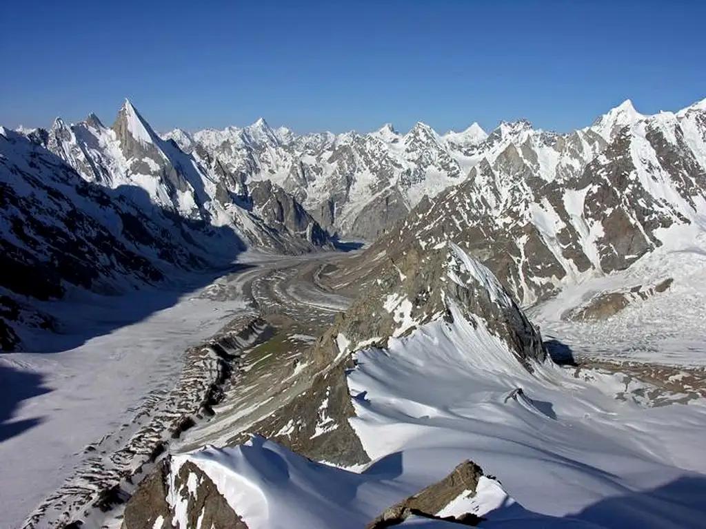
Gondogoro Peak
- Difficulty
- Easy
- Distance
- 5.7km
- Elevation gain
- 243 m
- Duration
- 2h
- Best season
- Jun – Sep
The journey
Gondogoro Peak is a 5.7km easy hike in Ghanche. It climbs 243 m and takes about 2h.
Trail Statistics
Trail map
Elevation profile
Climb over the length of the trail. Tap or drag along it to read elevation and grade.
Weather
Five-day forecast at the trailhead, 4,713 m.
Today
-1°-5°
Precipitation 3.9
Tomorrow
-2°-7°
Precipitation 0.2
Sat
-2°-10°
Sun
-2°-13°
Mon
-1°-8°
Expect roughly 6°C colder at the high point (5,687 m), before wind chill. Mountain weather turns faster than any forecast.
Forecast from MET Norway, updated hourly.
Frequently asked questions
What specialized technical mountaineering gear is mandatory?
Crampons, ice axes, harnesses, and safety carabiners are essential for fixed-rope sections.
Why must summit attempts and pass crossings start before dawn?
Early starts (11 PM – 1 AM) ensure firm frozen snowpack and avoid midday rockfall and soft-snow crevasses.
Which landmark peaks are visible from the high vantage?
K2, Broad Peak, Gasherbrum I to IV, and Mashabrum are all visible in a panoramic sweep.
Is Gondogoro La an open circular loop?
It connects the Baltoro Glacier at Concordia directly to the Hushe Valley via a technical high pass.
Trail gallery
Trail Photos
Photos from hikers
Recent shots from the community on this trail
No community photos yet. Been here? Add the first one.
Reviews
Ratings and recent conditions from the community
No reviews yet. Hiked this trail? Be the first to share conditions and help other hikers.