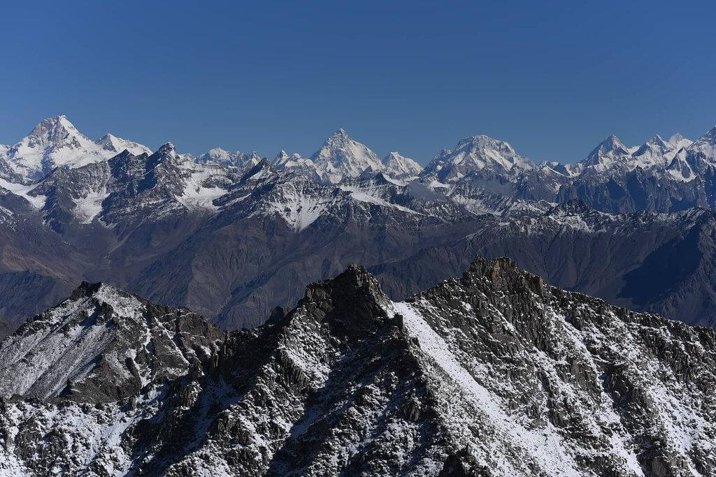
Barah Broq
Barah Broq is a 4.4 km trek in the Hushe Valley region of northern Pakistan with around 611 m of elevation gain.
- Difficulty
- Moderate
- Distance
- 4.4km
- Elevation gain
- 695 m
- Duration
- 2h
- Best season
- Jun – Sep
The journey
Barah Broq is a 4.4km moderate hike in Hushe Valley. It climbs 695 m and takes about 2h.
Barah Broq is a 4.4 km trek in the Hushe Valley region of northern Pakistan with around 611 m of elevation gain.
Trail Statistics
Trail map
Elevation profile
Climb over the length of the trail. Tap or drag along it to read elevation and grade.
Weather
Five-day forecast at the trailhead, 2,593 m.
Today
11°6°
Precipitation 11.4
Tomorrow
12°5°
Precipitation 14.4
Sat
16°1°
Sun
17°3°
Mon
18°8°
Precipitation 0.6
Expect roughly 5°C colder at the high point (3,293 m), before wind chill. Mountain weather turns faster than any forecast.
Forecast from MET Norway, updated hourly.
Frequently asked questions
Where does the trek physically begin?
The foot trail starts from Barah Village in Ghanche District, roughly a 3-4 hour drive east of Skardu.
Do foreign hikers need a restricted-zone NOC or mountain permit for Barah Broq?
No, unlike Concordia and K2 Base Camp, Barah Broq sits in an open zone and does not require a central trekking permit.
What is the highest point reached on this trek?
The trek climbs past the high alpine lakes (~4,300 m) to the Moses Peak viewpoint at approximately 5,150–5,350 meters.
What is the trail terrain like on the summit day up Moses Peak?
It is a non-technical but punishing pre-dawn grind across steep, loose scree, frost, and boulder fields.
Are there permanent settlements or teahouses at the upper lakes?
No, the upper pastures only have seasonal shepherd huts, meaning all camping gear, food, and fuel must be packed in.
Photos from hikers
Recent shots from the community on this trail
No community photos yet. Been here? Add the first one.
Reviews
Ratings and recent conditions from the community
No reviews yet. Hiked this trail? Be the first to share conditions and help other hikers.