Khusargang
- Difficulty
- Hard
- Distance
- 6.9km
- Elevation gain
- 1,455 m
- Duration
- 4h
- Best season
- Jun – Sep
The journey
Khusargang is a 6.9km hard hike in Shigar. It climbs 1,455 m and takes about 4h.
Trail Statistics
Trail map
Elevation profile
Climb over the length of the trail. Tap or drag along it to read elevation and grade.
Weather
Five-day forecast at the trailhead, 2,276 m.
Today
14°8°
Precipitation 10
Tomorrow
15°6°
Precipitation 6.2
Sat
18°3°
Sun
19°6°
Mon
20°9°
Expect roughly 9°C colder at the high point (3,735 m), before wind chill. Mountain weather turns faster than any forecast.
Forecast from MET Norway, updated hourly.
Frequently asked questions
What does the name "Khosar Gang" mean?
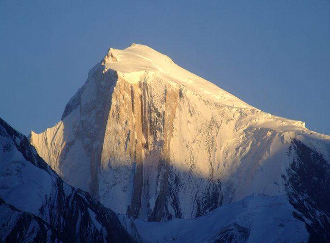
In the local Balti language, the name translates to "Ice Pumpkin" due to the peak's rounded, snow-covered appearance.
Has this route ever been conquered in the winter?
Renowned Polish climber Denis Urubko made history by securing the first winter ascent here in February 2022.
Where exactly does the physical trekking trail begin?
The foot trail officially starts in the village of Sildi on the left bank of the Braldu River.
What is the most technical part of the standard route?
The final stretch just below the summit requires navigating 80 to 120 meters of fixed ropes to safely bypass crevasses.
Can casuals do this?
No this is not for beginners or casuals, you need to go with a group and should have around experience of 3-4 summits
Photos from hikers
Recent shots from the community on this trail
No community photos yet. Been here? Add the first one.
Reviews
Ratings and recent conditions from the community
No reviews yet. Hiked this trail? Be the first to share conditions and help other hikers.