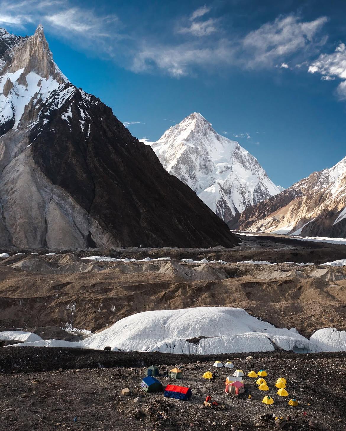
K2 Basecamp
- Difficulty
- Expert
- Distance
- 92.2km
- Elevation gain
- 3,329 m
- Duration
- 1d 5h
- Best season
- Jun – Sep
The journey
K2 Basecamp is a 92.2km expert-level hike in Shigar. It climbs 3,329 m and takes about 1d 5h.
Trail Statistics
Trail map
Day by day
This trek is walked over 7 days. Each leg has its own recorded track.
| Day | Distance | Ascent | Time | Grade |
|---|---|---|---|---|
| 1Askole To Jhola | 18.3km | +597m | 6h | Expert |
| 2Jhola To Paiju | 20.3km | +677m | 6h | Expert |
| 3Paiju To Khorbutse | 13.1km | +614m | 4h | Hard |
| 4Khorbutse To Urdukas | 5.8km | +258m | 2h | Moderate |
| 5Urdukas To Goro II | 11.0km | +307m | 3h | Hard |
| 6Goro II To Concordia | 11.9km | +317m | 4h | Hard |
| 7Concordia To K2 Basecamp | 11.8km | +559m | 4h | Hard |
Distances are for each leg, not the whole trek.
Elevation profile
Climb over the length of the trail. Tap or drag along it to read elevation and grade.
Weather
Five-day forecast at the trailhead, 2,974 m.
Today
8°6°
Precipitation 3.8
Tomorrow
11°2°
Precipitation 0.3
Sat
14°-2°
Sun
14°2°
Precipitation 0.1
Mon
14°4°
Precipitation 0.5
Expect roughly 13°C colder at the high point (4,980 m), before wind chill. Mountain weather turns faster than any forecast.
Forecast from MET Norway, updated hourly.
Frequently asked questions
Where does the standard K2 Basecamp trek begin and end?
The trek starts from Askole (or Jhola) and typically returns via the same route or exits across Gondogoro La to Hushe.
How many days are required to complete the trek?
The expedition takes 12 to 16 days round-trip, including mandatory acclimatization rest days at Paiju and Concordia.
What permits and logistics are legally required?
Hikers must travel with a government-licensed tour operator, obtain a non-cleared area trek permit, and hire a licensed guide.
What is the primary physical hazard on this route?
Acute Mountain Sickness (AMS) and injuries from uneven, shifting glacial moraine and loose scree.
When is the trekking season for K2 Basecamp?
June to late Septermber when melting glacial streams and weather windows are most manageable.
Trail gallery
Trail Photos
Photos from hikers
Recent shots from the community on this trail
No community photos yet. Been here? Add the first one.
Reviews
Ratings and recent conditions from the community
No reviews yet. Hiked this trail? Be the first to share conditions and help other hikers.