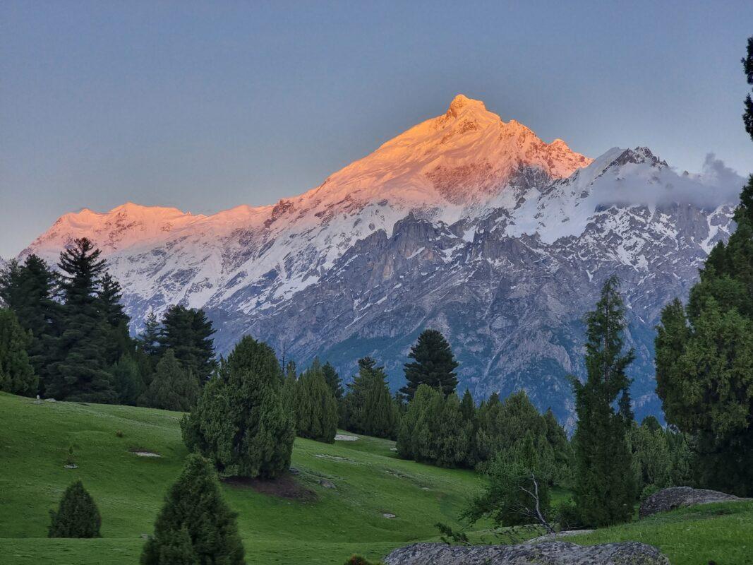
Khun Meadows
Khun Meadows is a 6.9 km trek in the Khaltaro Valley region of northern Pakistan with around 652 m of elevation gain.
- Difficulty
- Moderate
- Distance
- 6.9km
- Elevation gain
- 652 m
- Duration
- 3h
- Best season
- Jun – Sep
The journey
Khun Meadows is a 6.9km moderate hike in Khaltaro Valley. It climbs 652 m and takes about 3h.
Khun Meadows is a 6.9 km trek in the Khaltaro Valley region of northern Pakistan with around 652 m of elevation gain.
Trail Statistics
Trail map
Elevation profile
Climb over the length of the trail. Tap or drag along it to read elevation and grade.
Weather
Five-day forecast at the trailhead, 2,565 m.
Today
11°2°
Tomorrow
11°-2°
Thu
13°1°
Fri
10°-1°
Precipitation 0.1
Sat
11°2°
Expect roughly 4°C colder at the high point (3,220 m), before wind chill. Mountain weather turns faster than any forecast.
Forecast from MET Norway, updated hourly.
Frequently asked questions
When is the best time to visit Khun Meadows?
May to October but you have to be careful in monsoon season.
What altitude is Khun Meadows at?
Khun Meadows sits at around 3400m in the Khaltaro Valley.
Is water available at Khun Meadows?
Carry big enough water resources so you can spend your time (1-3 days) easily and do proper camping.
What is the terrain like on the approach to Khun Meadows?
The route passes through forest and streams before becoming steeper toward the meadow.
Can I hire porters or donkeys for the trek?
Porters and donkeys can be arranged from Khaltaro.
Can weather change suddenly in Khaltaro Valley?
Yes, sudden rain is possible, so campers should be prepared for changing mountain weather
Photos from hikers
Recent shots from the community on this trail
No community photos yet. Been here? Add the first one.
Reviews
Ratings and recent conditions from the community
No reviews yet. Hiked this trail? Be the first to share conditions and help other hikers.