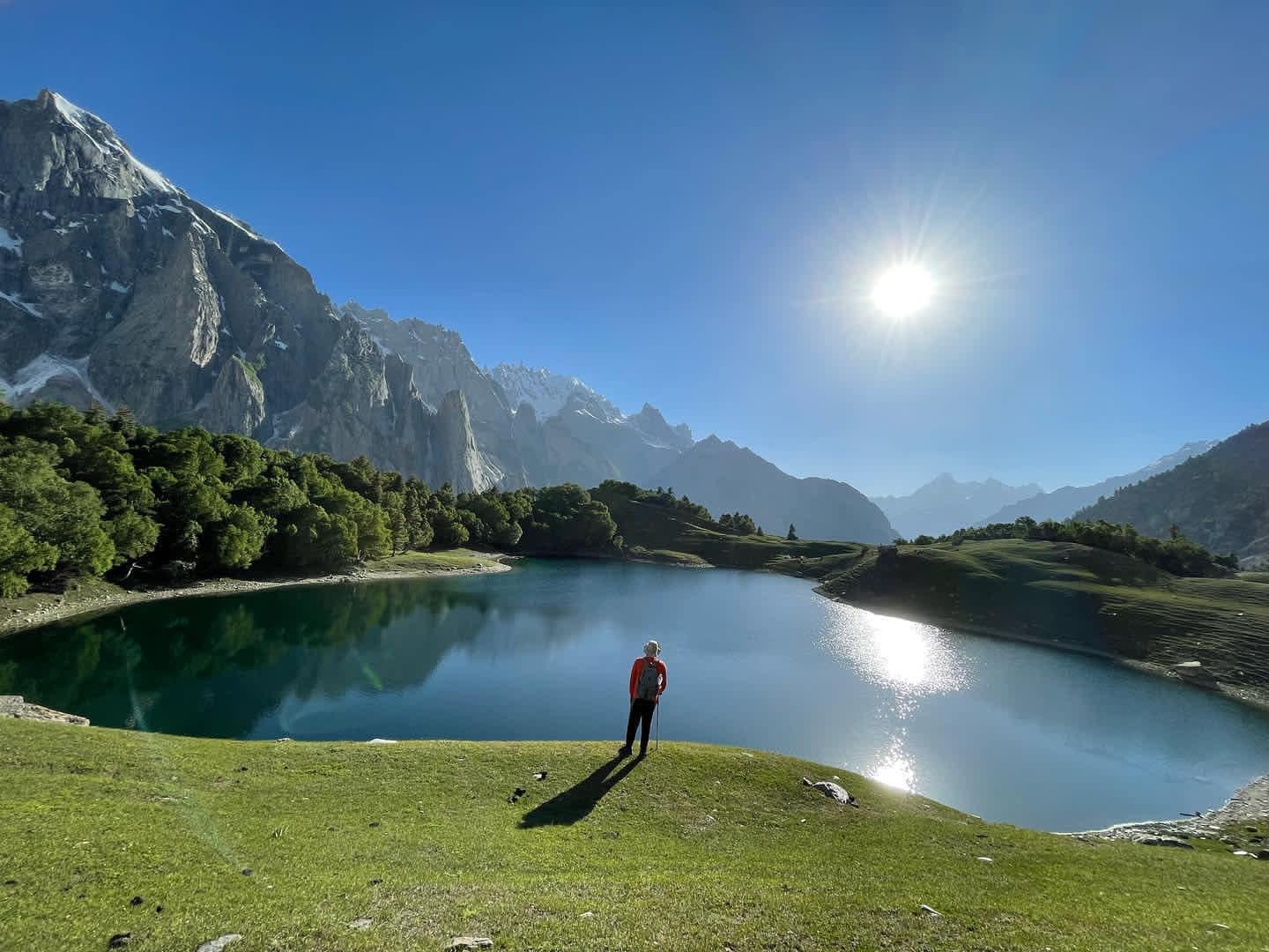
Haramosh Valley
- Difficulty
- Hard
- Distance
- 15.3km
- Elevation gain
- 1,261 m
- Duration
- 6h
- Best season
- Jun – Sep
The journey
Haramosh Valley is a 15.3km hard hike in Haramosh Valley. It climbs 1,261 m and takes about 6h.
Trail Statistics
Trail map
Ways up
2 recorded routes to the same place. Pick the one that suits the day you have.
| Route | Distance | Ascent | Time | Grade |
|---|---|---|---|---|
| Guro To Kutwal Lake (Short) | 9.2km | +218m | 3h | Hard |
| Dassu To Kutwal Lake (Long) | 15.3km | +1,261m | 6h | Expert |
Elevation profile
Climb over the length of the trail. Tap or drag along it to read elevation and grade.
Weather
Five-day forecast at the trailhead, 2,191 m.
Today
9°9°
Precipitation 0.1
Tomorrow
15°5°
Precipitation 6.5
Sat
18°5°
Precipitation 0.4
Sun
18°8°
Mon
19°9°
Precipitation 0.2
Expect roughly 7°C colder at the high point (3,297 m), before wind chill. Mountain weather turns faster than any forecast.
Forecast from MET Norway, updated hourly.
Frequently asked questions
Where is the primary roadhead for Haramosh treks?
Sassi village off the Gilgit-Skardu Highway serves as the transit hub for 4x4 jeeps entering Dassu
Which major peaks dominate the valley skyline?
Haramosh Peak (7,397m) and the distinctive pyramid of Haramosh II / Laila Peak border the basin.
Is a local mountain guide strictly required?
Yes, shifting glacial moraines and unmarked lateral tracks make a local village guide vital.
What are the primary route options through Haramosh?
Trekkers choose between the steep Barchi/Guro route or the gentler, longer Iskere village approach.
Are porters readily hired in Haramosh?
Yes, porters and pack horses are arranged locally at Dassu or Sassi before starting
What is the famous saying from this place?
Haramosh, na qaabil-e-faramosh
Does Haramosh valley have electricity or mobile connectivity?
Solar charging is scarce and patchy SCOM network signal disappears quickly once you pass Fairy Meadows. You will also get to see the phone box magic
Trail gallery
Trail Photos
Photos from hikers
Recent shots from the community on this trail
No community photos yet. Been here? Add the first one.
Reviews
Ratings and recent conditions from the community
No reviews yet. Hiked this trail? Be the first to share conditions and help other hikers.