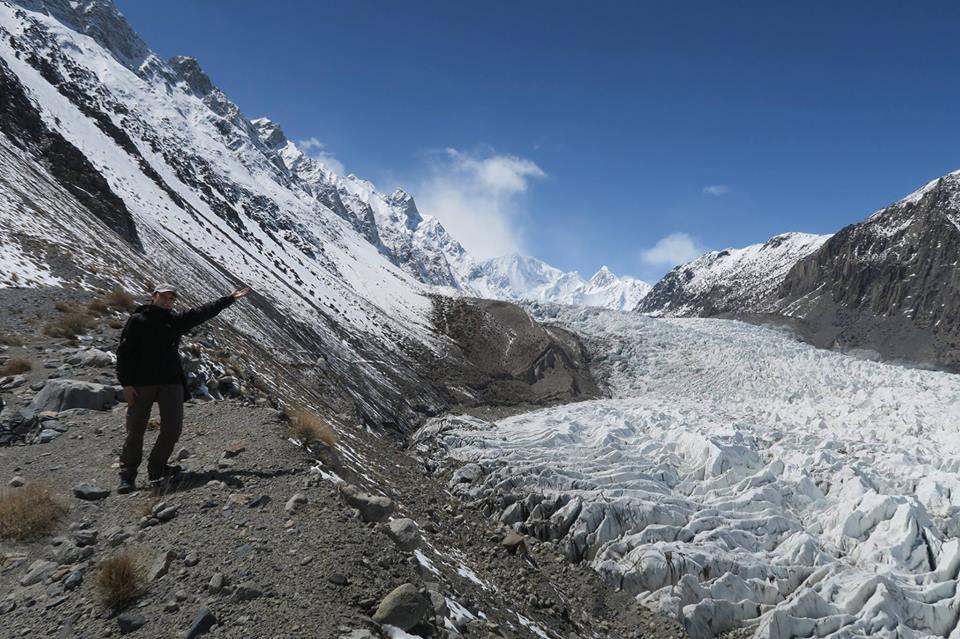
Batura Glacier
Batura Glacier is a 27.3 km trek in the Passu region of northern Pakistan with around 1,538 m of elevation gain.
- Difficulty
- Expert
- Distance
- 27.3km
- Elevation gain
- 1,285 m
- Duration
- 9h
- Best season
- Jun – Sep
The journey
Batura Glacier is a 27.3km expert-level hike in Passu. It climbs 1,285 m and takes about 9h.
Batura Glacier is a 27.3 km trek in the Passu region of northern Pakistan with around 1,538 m of elevation gain.
Trail Statistics
Trail map
Elevation profile
Climb over the length of the trail. Tap or drag along it to read elevation and grade.
Weather
Five-day forecast at the trailhead, 2,468 m.
Today
13°4°
Precipitation 0.7
Tomorrow
14°4°
Sun
17°5°
Mon
18°9°
Precipitation 0.1
Tue
18°9°
Precipitation 0.2
Expect roughly 8°C colder at the high point (3,634 m), before wind chill. Mountain weather turns faster than any forecast.
Forecast from MET Norway, updated hourly.
Frequently asked questions
Why is hiring a local Passu guide mandatory past the snout?
The shifting lateral moraines, concealed crevasses, and changing ice bridges make unguided navigation hazardous.
Do foreign tourists need a special trekking permit for Batura?
No, Batura sits in an open tourism zone, so standard foreign and local trekkers do not need special mountain permits
What is the main objective on a standard multi-day trek here?
Reaching the summer pastures of Yunzben, Yashpirt, and Guchesham along the ablation valley.
What wildlife encounter is uniquely common along this route?
Hikers frequently encounter herds of domestic yaks and Wakhi shepherds living in stone seasonal settlements.
What is the daily rockfall hazard pattern along the moraine?
Solar heating melts glacial ice holding the lateral walls, significantly raising rockfall hazards during late afternoon hours.
Photos from hikers
Recent shots from the community on this trail
No community photos yet. Been here? Add the first one.
Reviews
Ratings and recent conditions from the community
No reviews yet. Hiked this trail? Be the first to share conditions and help other hikers.