Ban Faqiran
Ban Faqiran is a scenic trekking destination in the Islamabad (Margalla Hills) region of Pakistan.
- Difficulty
- Moderate
- Distance
- 9.8km
- Elevation gain
- 384 m
- Duration
- 3h
- Best season
- Oct – Apr
The journey
Ban Faqiran is a 9.8km moderate loop hike in Islamabad (Margalla Hills). It climbs 384 m and takes about 3h.
Ban Faqiran is a scenic trekking destination in the Islamabad (Margalla Hills) region of Pakistan.
Trail Statistics
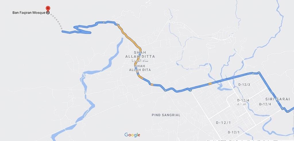
Trail map
Elevation profile
Climb over the length of the trail. Tap or drag along it to read elevation and grade.
Weather
Five-day forecast at the trailhead, 666 m.
Today
26°24°
Tomorrow
30°21°
Sun
31°21°
Mon
30°22°
Tue
30°23°
Forecast from MET Norway, updated hourly.
Frequently asked questions
Where is the official trailhead to start the Ban Faqiran hike?
The trek begins behind the historic Shah Allah Ditta caves at the western edge of Sector D-12 in Islamabad.
What historical archaeological structure is located at the top?
The summit ridge houses the excavated ruins of an ancient 2nd to 5th-century Buddhist stupa and an old water reservoir.
What unique dual vista can you see from the crest?
The high pass offers a simultaneous view of the Islamabad skyline to the east and the Taxila plains to the west.
Is there any natural tree cover or shade along the trail?
The trail is largely exposed to the sun with scrub vegetation, making midday ascents very hot; hike early morning or late afternoon.
Can this trail be connected further into other Margalla routes?
Yes, from the stupa ridge you can continue east along the high spine toward the Losar Baoli track or descend down the back slope into Taxila.
Trail gallery
Trail Photos
Photos from hikers
Recent shots from the community on this trail
No community photos yet. Been here? Add the first one.
Reviews
Ratings and recent conditions from the community
No reviews yet. Hiked this trail? Be the first to share conditions and help other hikers.